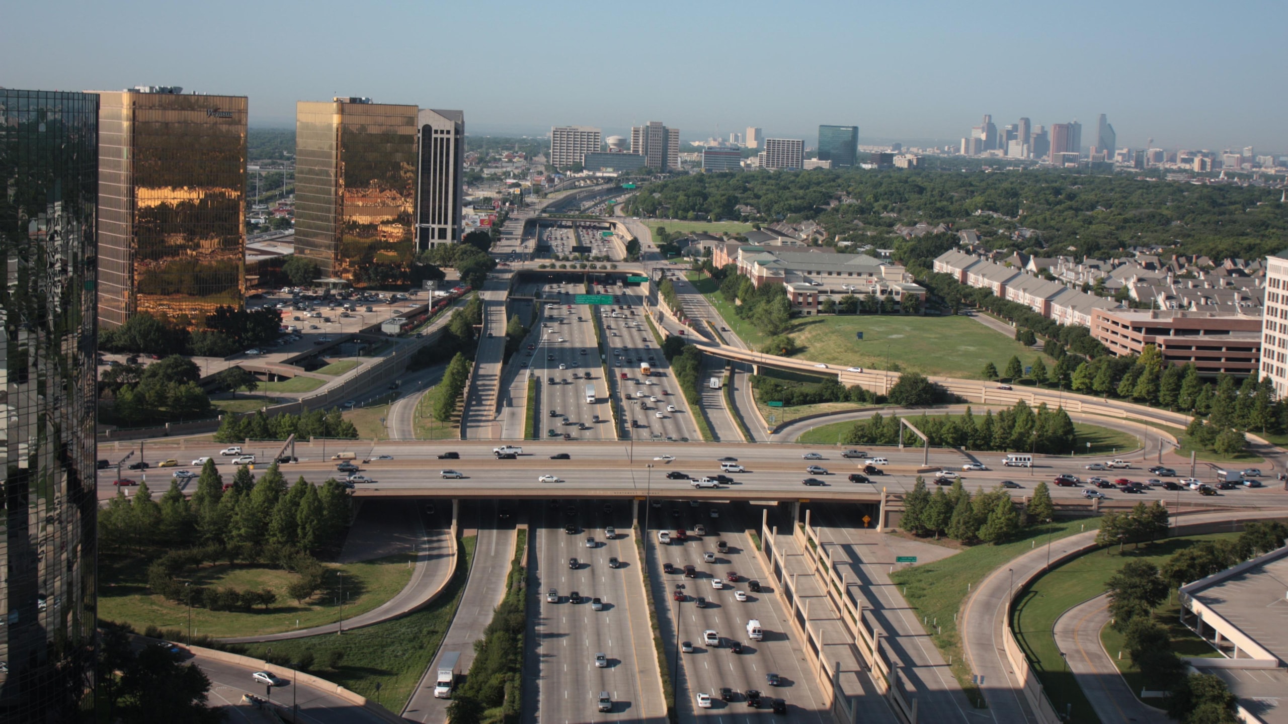
47,856 MILES.ZERO STOPLIGHTS.
The largest public works project in human history: a controlled-access freeway network that crosses every state, crests the Rockies at 11,158 feet, and never once stops for an intersection.
From Mud to Motorway
Before the System, crossing America by car was an expedition. After it, crossing America became a birthright.
In the summer of 1919, the U.S. Army sent a motor convoy from Washington to San Francisco to find out how long it took to cross its own country. The answer: 62 days. Trucks sank to their axles in mud, broke through timber bridges, and averaged roughly walking pace. Among the convoy's officers was a young lieutenant colonel named Dwight D. Eisenhower.
A quarter-century later the same man saw Germany's autobahns: and as President signed the Federal-Aid Highway Act of 1956: Washington would pay 90 cents of every construction dollar out of a trust fund fed by the gas tax, and the states would build. Forty years later, the map of America had been redrawn.
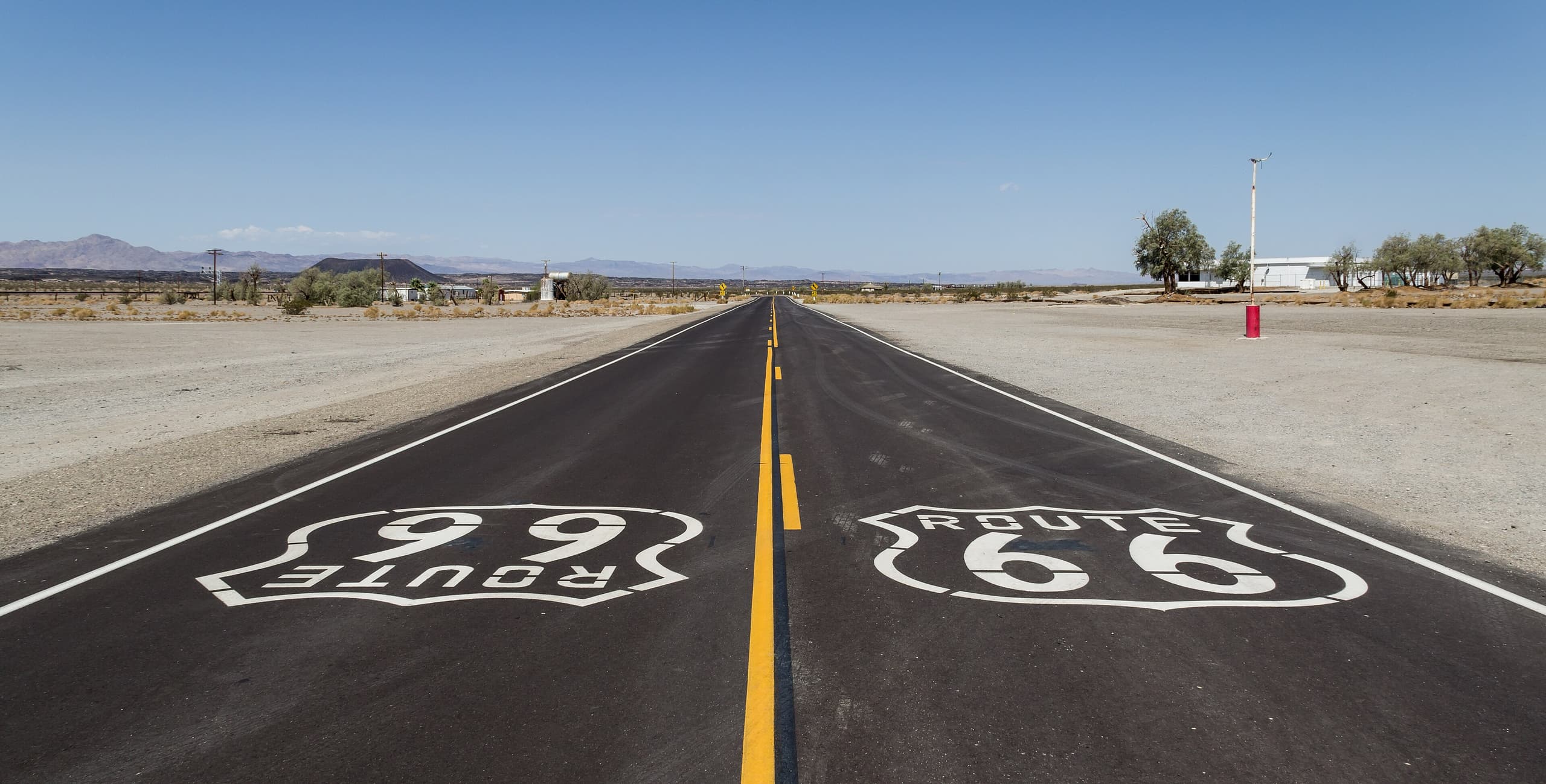
90% Federal, 100% Continental
The 1956 formula was the System's political genius: no state could afford to refuse nine federal dollars for every one of its own. The money came from the fuel tax: drivers paid for the roads as they drove them, mile by mile.
The standards were non-negotiable: twelve-foot lanes, curves engineered for sustained speed, entry only by ramp. From Miami to Seattle, the same geometry.
Corridors of the Continent
Toggle between the named trails that preceded 1926 and the Interstate System that replaced them. The entire primary grid is drawn from official FHWA geometry: touch any line across the featured corridors for its real length and traffic.
Routes follow official FHWA geometry. Zoom in for detail.
Zoom: buttons, pinch, or Ctrl + scroll · drag to pan
Hover a corridor for its story: every line on the map is interactive
Traffic source: FHWA Highway Statistics 2024, Table VM-1. Interstates carried 854.4 billion vehicle-miles in 2024: 271.8B rural + 582.6B urban: equal to 25.9% of all U.S. vehicle-miles. The heat map uses FHWA National Highway System segment AADT data. FHWA Table VM-1
A Continent, by the Numbers
How to Read an Interstate Shield
- Even numbersrun east–west (I-10, I-90)
- Odd numbersrun north–south (I-5, I-95)
- Multiples of 5are the major transcontinental arteries
- Three digitsare urban beltways & spurs (I-610, I-495)
“One in every five miles must be straight, to serve as an emergency airstrip.” False: it's an urban legend. No federal standard ever required it.
Quirks of the Numbering
No I-50, no I-60
The grid skips them on purpose. An I-50 or I-60 would run beside U.S. 50 and U.S. 60 through the same states, and matching numbers on both a U.S. route and an Interstate was judged a recipe for confusion.
The route that splits: I-35E and I-35W
I-35 is the one primary route that forks in two, and not once but twice: around Dallas–Fort Worth and around Minneapolis–Saint Paul: so neither city could claim the other's traffic. Then it rejoins.
Three-digit numbers repeat
Auxiliary routes reset from metro to metro. There are several I-495s, I-465s and I-610s across the country, because a beltway only needs to be unique within its own city, not nationwide.
1.16%
of America's public road mileage is Interstate highway: yet it carries 25.9% of all U.S. vehicle-miles, according to FHWA 2024 data.
The Engineering Behind the Freedom
The numbers tell the story
Even routes run east–west, odd routes north–south. Multiples of ten are the transcontinental arteries; a leading digit marks a beltway or spur. The map reads itself.
The last mile was the hardest
Glenwood Canyon, Colorado: twelve miles of viaducts hung above the Colorado River, not finished until 1992: the System's final link, and arguably the most beautiful stretch of freeway on Earth.
The Eisenhower Construction Standard
16-Foot Defense Clearance
To support strategic military mobility during the Cold War, the Department of Defense mandated a minimum 16-foot (4.87 m) vertical clearance under all overpasses. This allows Intercontinental Ballistic Missiles (ICBMs) on transport-erector-launchers, heavy armor, and mobile radar arrays to traverse the country without bottlenecking.
Anatomy of an Interchange
An Interstate is never allowed to cross another road at grade. Every junction is resolved by one of a handful of standard forms, chosen by how much land, money, and traffic are in play.
Diamond
The Ubiquitous WorkhorseThe baseline standard of American highway design. Four direct ramps connect the freeway to a secondary road at a single grade-separated bridge. While highly cost-effective and space-efficient, it introduces conflict points where ramp traffic meets the crossroad via stop signs or traffic signals.
The default design for thousands of rural exits and suburban crossings across the Interstate network.
National Security & The Airfield Myth
Officially named the Dwight D. Eisenhower National System of Interstate and Defense Highways, the network was designed with national security at its core. Drawing from Eisenhower's experience with the German Autobahn during WWII, the system was built to allow rapid mobilization of military forces. Bridges were built with a minimum vertical clearance of 16 feet specifically to accommodate the transport of Intercontinental Ballistic Missiles (ICBMs) and heavy military vehicles. While the popular belief that 'one out of every five miles must be straight to serve as emergency runways' is a urban myth, the U.S. military has indeed conducted successful exercises landing fighter jets on designated highway stretches, proving the system's strategic backup capability.
The Road That Built an Economy
The Interstate moved cars and spawned whole industries at the bottom of the off-ramp.
Holiday Inn
The first standardized hotel chain grew out of one bad family road trip. Identical, predictable rooms at every interchange.
The McDonald's drive-thru
The first drive-thru window opened next to an Arizona military base: then colonized every highway exit in America.
The truck stop
Pilot Flying J, Love's and TA built oasis-towns for 3.5 million truckers: fuel, food and showers, around the clock.
FedEx & UPS
Overnight delivery only became possible because a truck could cross an entire state without stopping at a single light.
The Interstates That Never Were
Not every line on the 1950s maps got built. City revolts and geography left ghosts on the map.
Westway (I-478), New York
A highway buried along the Hudson, killed in 1985 after a decade of lawsuits. The money went to the New York subway instead.
The Embarcadero Freeway, San Francisco
A double-decker along the bayfront so unloved the city tore it down after the 1989 earthquake: and never rebuilt it.
The I-95 gap, New Jersey
The Somerset Freeway was canceled, leaving I-95 without a link for decades. The final connection opened only in 2018.
"More than any single action by the government since the end of the war, this one would change the face of America."